CANTraj dataset shows vehicle signals can rebuild routes without GPS
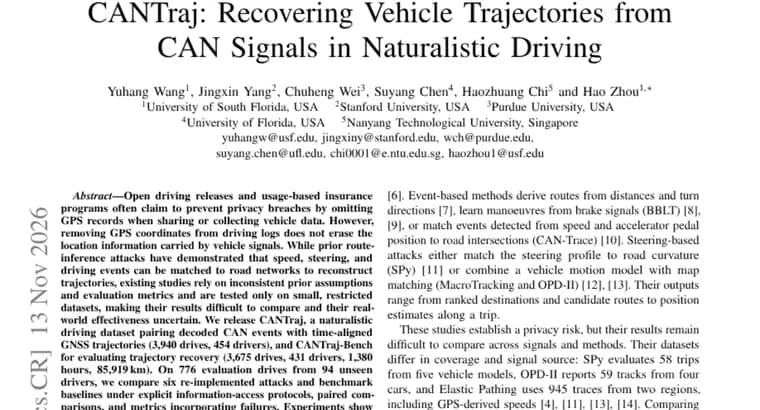
Open driving data releases and usage-based insurance programs often say they protect privacy by leaving out GPS records when vehicle data is shared or collected. The authors of a new Hugging Face paper argue this does not work: removing GPS coordinates from driving logs does not erase the location information carried by vehicle signals.
They note that earlier route-inference attacks had already shown that speed, steering and driving events can be matched to road networks to reconstruct trajectories. But those studies used inconsistent prior assumptions and evaluation metrics, and were tested only on small, restricted datasets. That made their results hard to compare and their real-world effectiveness uncertain.
To fix this, the authors release two things. CANTraj is a naturalistic driving dataset that pairs decoded CAN events with time-aligned GNSS trajectories, covering 3,940 drives from 454 drivers. CANTraj-Bench is the evaluation benchmark for trajectory recovery, with 3,675 drives, 431 drivers, 1,380 hours and 85,919 km.
On 776 evaluation drives from 94 unseen drivers, they compare six re-implemented attacks and benchmark baselines. The comparison uses explicit information-access protocols, paired comparisons, and metrics that count failures.
The main finding is that combining steering signals with road-network constraints gives the largest gain. With a known start and heading, adding steering to speed raises the online map filter's five-minute route recovery from 56% to 87%. Its median average displacement error is 43 m, against 921 m for map-free dead reckoning. Offline beam search recovers 88% of test routes when the heading is known and 81% without it.
Because different methods fail on different windows, the authors also test an LLM harness that selects among candidate routes. It was evaluated on 659 five-minute windows. Its best configuration recovers 79% of routes on test and 83% on few-shot, which outperforms the best baseline on test and matches it on few-shot. The data is hosted at huggingface.co/datasets/HenryYHW/CANTraj and the code at github.com/WangYuHang-cmd/GPS--CAN.
Key facts
- CANTraj pairs decoded CAN events with time-aligned GNSS trajectories for 3,940 drives and 454 drivers; CANTraj-Bench covers 3,675 drives, 431 drivers, 1,380 hours and 85,919 km.
- On 776 evaluation drives from 94 unseen drivers, six re-implemented attacks were compared under explicit information-access protocols.
- With a known start and heading, adding steering to speed lifts the online map filter's five-minute route recovery from 56% to 87%, with a median displacement error of 43 m versus 921 m for map-free dead reckoning.
- Offline beam search recovers 88% of test routes with the heading and 81% without it.
- An LLM harness choosing among candidate routes on 659 five-minute windows recovers 79% of routes on test and 83% on few-shot.
Why it matters
Dropping GPS is a common way to claim a driving dataset or an insurance telematics feed is private. This paper's results argue that the claim is weak: speed and steering alone, matched against a road network, can recover routes for many drives. It also gives the field a shared yardstick. Earlier attacks used different assumptions and metrics and small datasets, so their results could not be compared. CANTraj and CANTraj-Bench put six attacks on one evaluation set with explicit rules about what information each attacker has.
Who it affects
The paper frames the problem around open driving releases and usage-based insurance programs, which it says often rely on omitting GPS records as a privacy measure. Drivers whose vehicle signals are shared or collected under that assumption are the people whose location information is at stake. Researchers working on trajectory inference and privacy now have a common dataset and benchmark to build on.
How to use it
The dataset is hosted at huggingface.co/datasets/HenryYHW/CANTraj and the code at github.com/WangYuHang-cmd/GPS--CAN. Researchers can run the six re-implemented attacks on CANTraj-Bench, or use the information-access protocols and failure-aware metrics to test their own methods. Teams that publish or collect vehicle signals can use the results to check whether their data without GPS still leaks routes.
How solid is it
The results come from one paper evaluated on the authors' own dataset: 776 evaluation drives from 94 unseen drivers for the attack comparison, and 659 five-minute windows for the LLM harness. The comparison uses paired comparisons and metrics that count failures, which makes the numbers more honest than success-only scores. The headline gain of 56% to 87% applies to the case of a known start and heading, and the 43 m versus 921 m figure is a median average displacement error, not a mean. Offline beam search shows the effect of heading: 88% with it, 81% without.
Risks and caveats
The 56% to 87% result assumes the attacker knows the start and heading, so it is not a blind attack. The source does not say that any real insurer or open dataset was attacked, and it does not propose or evaluate any defence. The LLM harness only selects among candidate routes that other methods supply, and the source does not name the model used. Its edge is limited: it outperforms the best baseline on test but only matches it on few-shot.
“removing GPS coordinates from driving logs does not erase the location information carried by vehicle signals”
— CANTraj paper abstract